Aerial Timeline Reports

Track how properties evolve over time with detailed aerial snapshots. Our timeline reports enable deeper analysis and more confident decisions, offering a clear view of every stage in a property’s lifecycle.

Comprehensive timelines

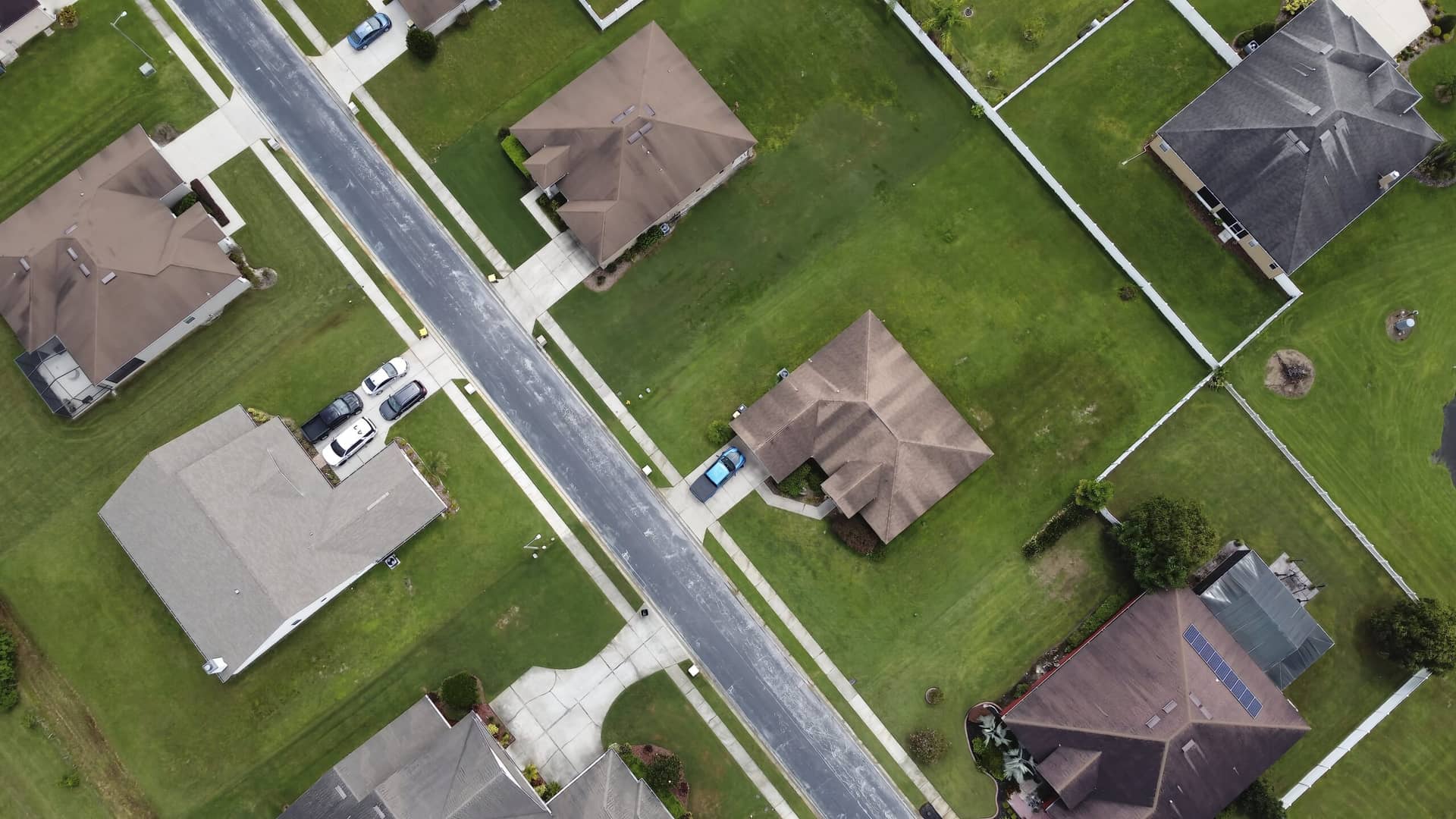
Our Aerial Timeline provides comprehensive historical data, capturing each property’s evolution over time. These detailed insights help you analyze changes, improvements, or damages and guide better decisions for insurance claims, assessments, and strategic planning.

Reports are delivered in convenient PDF format to fit seamlessly into your workflow.

Pricing

Aerial Timeline

$32

Date stamped, damage detection, property information.

Precision Imagery, Confident Decisions

At Ridge Top, we remain at the cutting edge of imagery technology. Our latest captures can be less than a month old, while our archives stretch back for years with exceptional clarity. This depth of coverage supports precise date stamping, damage detection, and property insights—empowering more confident decisions at every stage of the process.

Sign up for our newsletter!